Augmented reality research
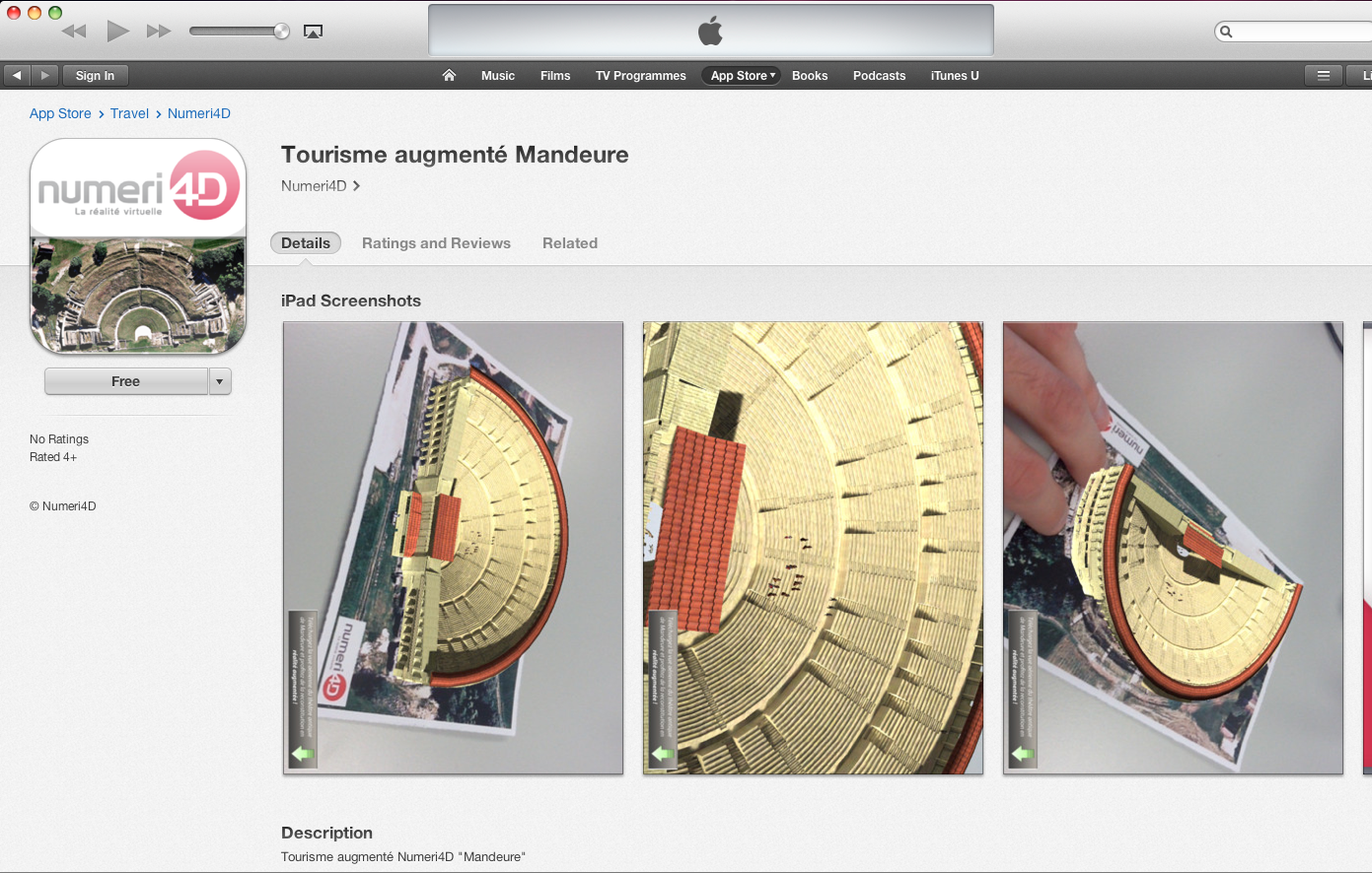
I started to gather some information about Augmented reality. After looking a the news, I found out about these projects http://www.euronews.com/2013/10/15/drone-assisted-archeology/, so I researched further, as Augmented reality is related with my work, and found these android apps made by a company called Numeri4D.


First screen


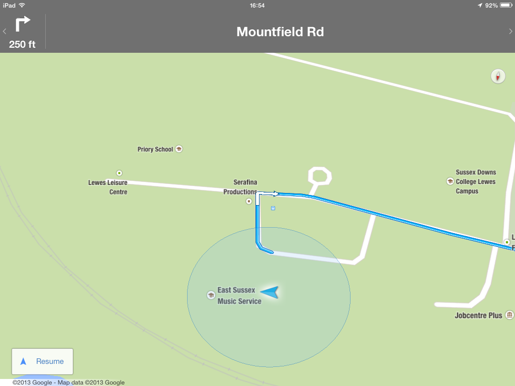
Routing Apps Test
These app is able to position in the map without WiFi, so I would image that it is achievable to use the augmented reality with out WiFi


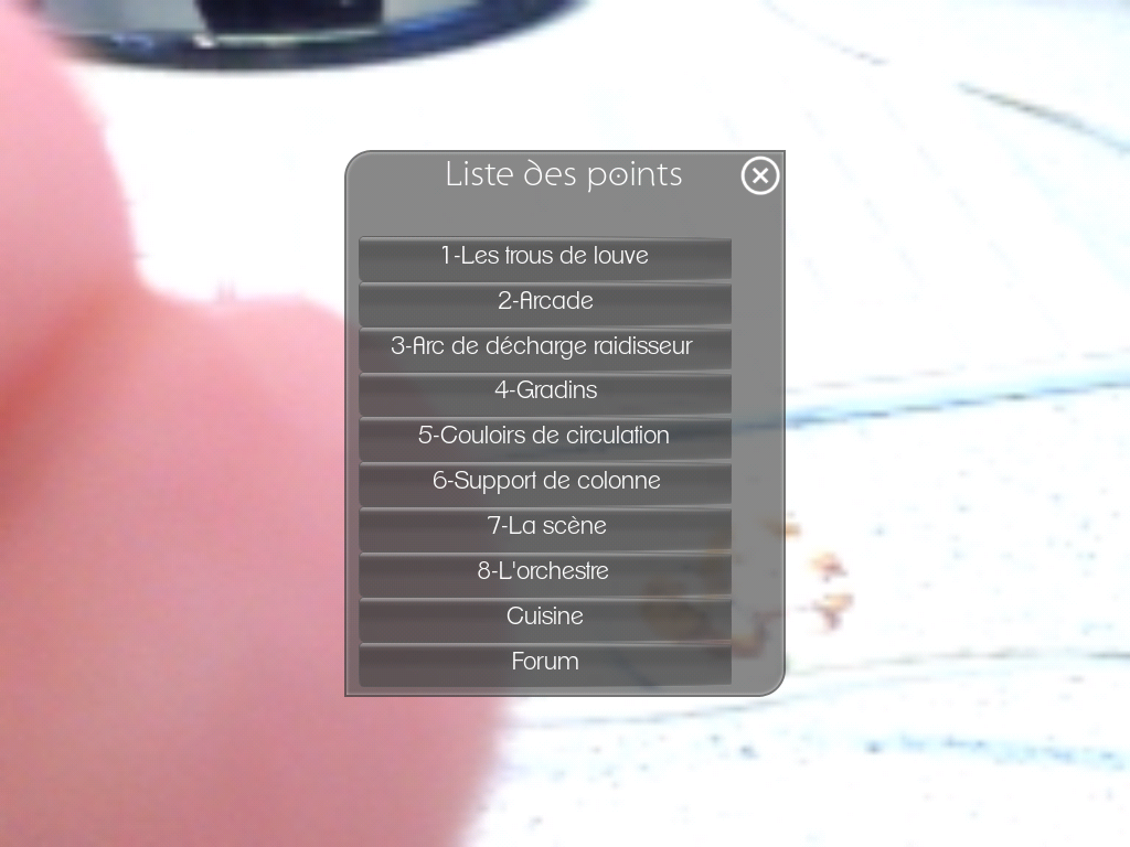
Augmented reality


Display of instruction

Display of information, look at the compass


Display of instruction


=======================================
Augmented reality Hoppala
=======================================
I wanted to see how the travel apps works:
buuuk.com http://buuuk.com/ / navigation buttom
I like the clean way it shows directions to the different point including tracing in the map and distances/time


=========================
Cogapp.com
A good way to arrange the information:

====================================
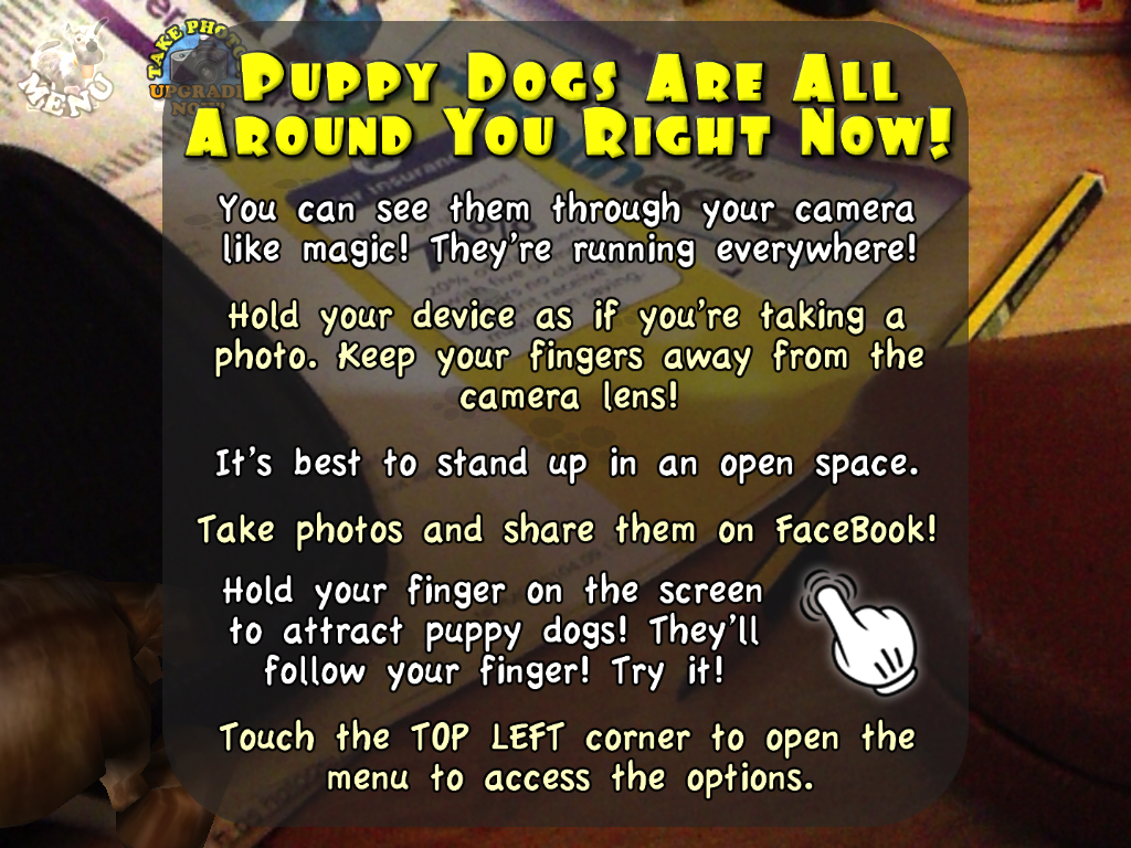
Others App:

Check new video: http://www.youtube.com/watch?annotation_id=annotation_138791&feature=iv&src_vid=DpmAyen4sv0&v=mVqSUtzCrl0
==================
The night sky App
In to the instruction section I explored the different interfaces, and one of them is the AR icon in other to activate/desactivate the camera view, which I think I should include in my App (see this link to download it http://www.t-immersion.com/ar-logo), others like share, take a picture
=================
I check how Google glass interfaces work given directions, and how is the interface using Augmented reality
Google glass
I check how Google glass interfaces work given directions, and how is the interface using Augmented reality
Google Maps


======================
Apple Maps


No comments:
Post a Comment